
Temperatures are expected to rise slightly Monday throughout the tristate area after dropping to extreme depths Saturday night and Sunday morning.
The predicted high in Central Park was 30 degrees Monday afternoon, and highs are expected to remain in the 30s throughout the week, according to the National Weather Service.
“Expect highs mainly in the lower to mid 30s, with lows in the teens inland and the lower 20s at the coast,” forecasters wrote Sunday. “The coldest days will be Thursday and Friday with temperatures about 5 to 8 degrees below normal.”
However, Monday morning is still expected to be frosty, with wind chills as low as -5 degrees, while by night, the low temperature will be 18 degrees, according to NWS meteorologists.
Temperatures Sunday were well below freezing, with people throughout the region waking up to -10 to -20 degree wind chills. The region was under an “extreme cold warning” from the NWS through 1 p.m.

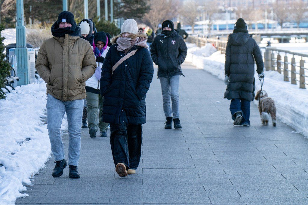
Theodore Parisienne / New York Daily News
The ice-filled Hudson River is seen in downtown Manhattan on Sunday as Arctic air blankets New York City. (Theodore Parisienne / New York Daily News)
“Due to the extreme cold, warming centers continue to be open to anyone in need,” NYC311 wrote on social media. “If you, or someone you know, needs to get out of the cold, you can go to any of the centers.”
More than 1,000 people lost power in Brooklyn in the icy cold, leading the city to open Evergreen Middle School as a warming center, according to the city’s emergency management department.

Theodore Parisienne / New York Daily News
A Canada goose stays warm near the Hudson River in downtown Manhattan on Sunday as Arctic air blankets New York City. (Theodore Parisienne / New York Daily News)
The power first went out late Saturday, when temperatures reached a bone-chilling -6 at John F. Kennedy Airport in Queens, a record low for Feb. 7 in New York. On Sunday, temperatures sank to a shocking -34 degrees in Watertown, N.Y., the lowest temperature in the nation.